
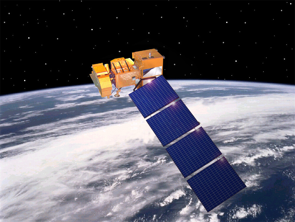
Landsat Data Continuity Mission (LDCM) Satellite
LANDSAT data has been used by government, commercial, industrial, civilian, and educational communities throughout the world. Scientists and engineers from the Department of the Interior’s U.S. Geological Survey (USGS) and NASA are moving forward in planning a successor to the Landsat Data Continuity Mission which was successfully launched from Vandenburg Air Force Base in April 15, 1999. With the Landsat Data Continuity Mission (LDCM) satellite expected to launch in 2011, the two agencies have announced their roles and responsibilities in mission development, subsystems procurement, and on-orbit operations.
Landsat 7 Satellite
Copyright © NASA
The satellite image data is used to support a wide range of applications in such areas as global change research, agriculture, forestry, mining, land cover, and change detection. The images can be used to map anthropogenic and natural changes on the Earth over periods of several months to two decades. The types of changes that can be identified include agricultural development, deforestation, desertification, natural disasters, mineral exploration and classification, urbanization, and the development and degradation of water resources.