
WorldView-1 First Satellite Images
DigitalGlobe (currently MAXAR) today revealed the first images from WorldView-1, the highest resolution, most agile commercial satellite ever flown. WorldView-1 was successfully launched on September 18 from Vandenberg Air Force Base and is expected to be fully operational and delivering imagery products by the end of the year if not sooner.WorldView-1’s first images include half-meter snapshots from Houston, Texas, the USA acquired October 2, 2007, Yokohama, Japan acquired October 5, 2007, Addis Ababa, Ethiopia acquired October 5, 2007.
WorldView-1 is part of the National Geospatial-Intelligence Agency (NGA) NextView program and was partially financed through an agreement with the NGA. The majority of the imagery captured by WorldView-1 for the NGA will also be available for distribution through DigitalGlobe’s Image Library. Additionally, WorldView-1 immediately frees capacity on DigitalGlobe’s QuickBird to meet the growing commercial demand for multi-spectral geospatial imagery.

Houston, Texas
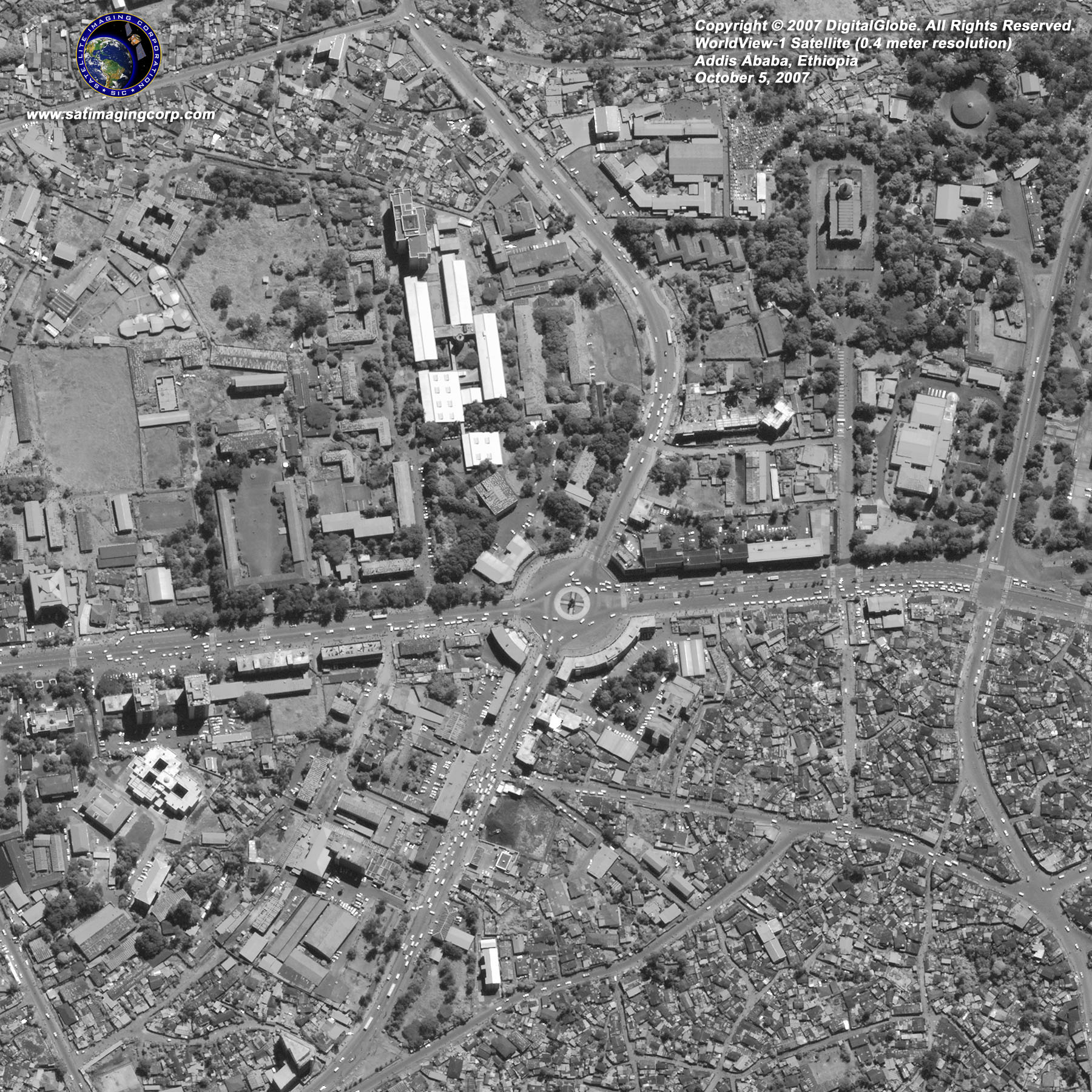
Addis Ababa, Ethiopia

Yokohama, Japan
Images copyright © MAXAR. All rights reserved.
Frequent revisits increase image collection opportunities, enhance change detection applications, and enable accurate map updates. The satellite is capable of collecting, storing, and downlinking more frequently updated global imagery products than any other commercial imaging satellite in orbit, allowing for expedited image capture, processing, and delivery to customers where speed is a driving factor. WorldView-1 is equipped with state-of-the-art geo-location accuracy capability and exhibits unprecedented agility with rapid targeting and efficient in-track stereo collection.