
CRYOSAT-2 Satellite Launch
ESA’s CryoSat-2 satellite is scheduled to launch in February 2010. CryoSat will acquire accurate measurements of the thickness of floating sea ice so that seasonal to inter-annual variations can be detected. Its primary objective is to test the prediction that Arctic sea ice is thinning due to global warming.
CryoSat-2 Satellite

Image Credit: ESA
The question of whether global climate change is causing the polar ice caps to shrink is one of the most hotly debated environmental issues we currently face. ESA’s Earth Observation Program’s main aim is to improve our understanding of how the Earth system works and the effect that human activity is having on natural Earth processes.
The CryoSat-2 satellite will carry the first all-weather microwave radar altimeter optimized for detecting changes in the elevation of both types of ice. The core instrument is called SIRAL, short for SAR Interferometric Radar Altimeter it has two radar antennas and exploits synthetic aperture processing.
CryoSat-2 will also survey the surface of continental ice sheets to detect small elevation changes. CryoSat’s high spatial resolution radar altimeter is capable of operating in a number of modes, optimized for measurement over different surfaces.
For some years, satellites such as Envisat, ASTER, and Landsat 7 +ETM have been mapping the extent of ice cover. However, in order to understand how climate change is affecting these sensitive regions, there is an urgent need to determine how the thickness of the ice is changing.
The altimeter makes a measurement of the distance between the satellite and the surface of the Earth. This measurement can not be converted into the more useful measurement of the height of the surface until the position of the satellite is accurately known. This requires that CryoSat-2 carry some specific equipment.
Satellite image data contributes to a wide array of global change-related application areas for vegetation and ecosystem dynamics, environmental monitoring, land surface climatology, hydrology, land cover change, and the generation of orthorectified Digital Elevation Models (DEMs).
LANDSAT 7 +ETM Satellite Image (15m) – Antarctica
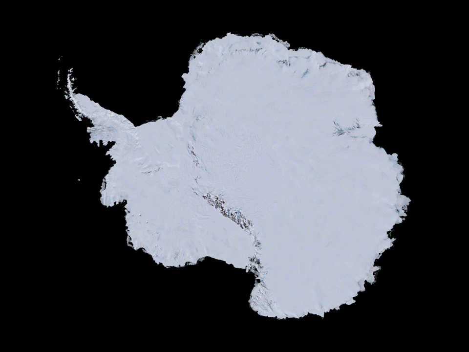
Image credit: NASA