Satellite Map Typhoon Ketsana
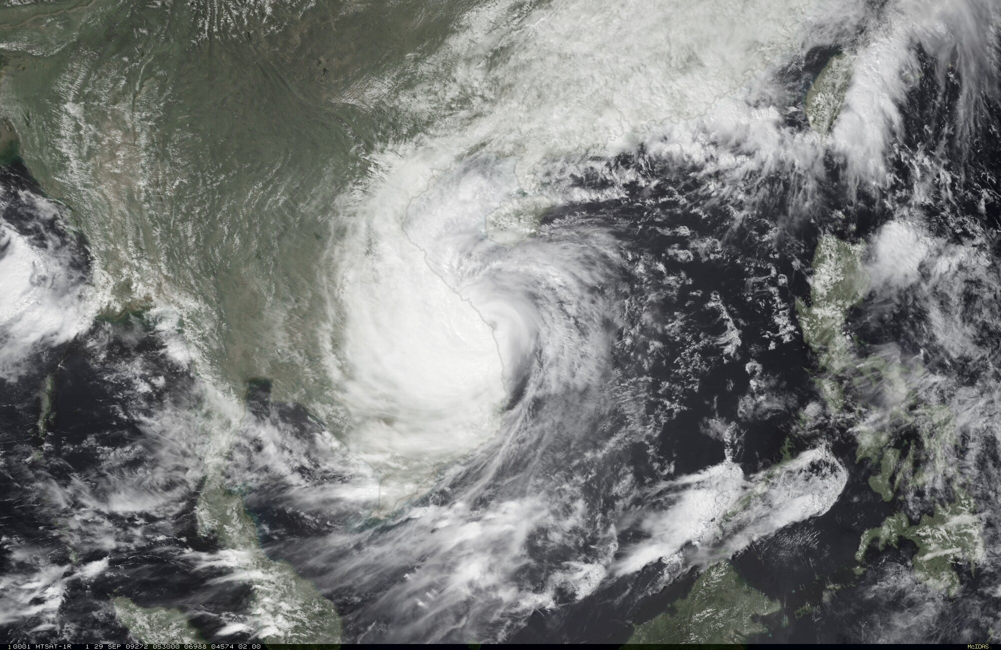
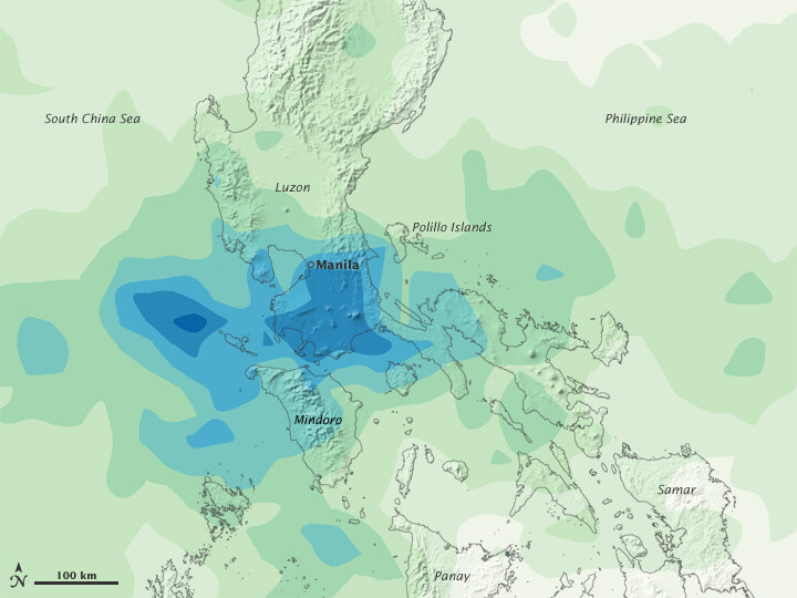
Satellite image of Typhoon Ketsana heading towards Taiwan after hitting the Philippines which in a matter of hours, dropped a month’s worth of rain on the capital of Manila. Streets resembled rivers, covered by water that was chest high. The flooding is the worst in more than 40 years.
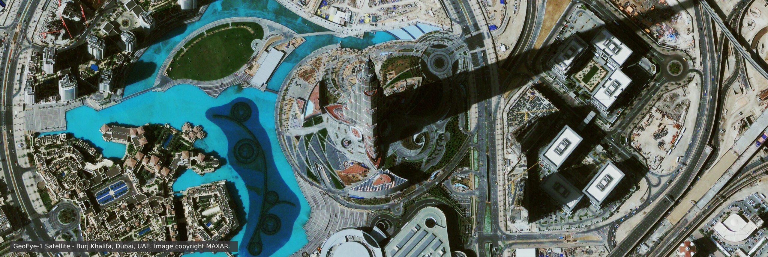
Satellite imagery and GIS maps can give emergency and disaster response officials a wealth of information for assessment, analysis, and monitoring of natural disasters such as hurricanes, tornadoes, and cyclone damage from small to large regions around the globe.
Estimates of the particular land cover classes that may be inundated by a natural disaster can enable operators and planners to better assess their region’s risk and vulnerability. This information will allow for prioritizing target mitigation and preparedness activities for their area.
The use of multispectral satellite imagery is therefore critical for the separation of constituent materials within a satellite map and for the interpretation of images of the damage for pre or post-disaster assessment.

Satellite Image Typhoon Ketsanamage Credit: NOAA
The storm left more than 200 hundred dead or missing and forced thousands to stay at relief operations centers. Many buildings, establishments, animals, cars, and other things were destroyed due to Typhoon Ketsana. With more casualties expected and search and rescue efforts continued.
Image Credit: NASA


