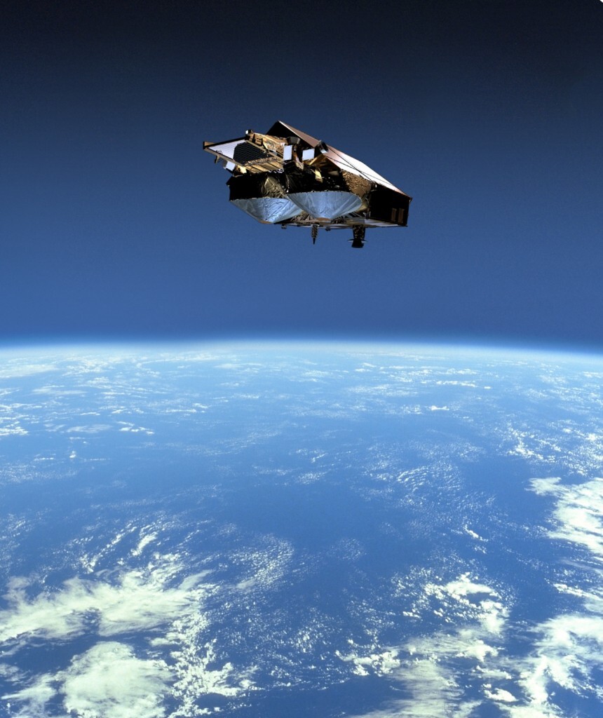
CryoSat Satellite Launch
ESA’s CryoSat satellite the most sophisticated satellite ever to investigate the Earth’s ice fields and map ice thickness over water and land was scheduled to launch on February 25, 2010, at 14:57 CET (13:57 UTC) and is scheduled to launch on April 8, 2010. The launcher is operated by the international space company Kosmotras. Its primary objective is to test the prediction that Arctic sea ice is thinning due to global warming.
ESA’s CryoSat


Image Credit: ESA
The CryoSat satellite sensor whose name comes from the Greek kruos meaning icy cold – carries the first all-weather microwave radar altimeter. The instrument has been optimized for determining changes in the thickness of both floating sea ice, which can be up to several meters, and polar land ice sheets, which in Antarctica can be up to five kilometers. The mission will deliver data on the rate of change of the ice thickness accurately to within one centimeter.
Data from CryoSat will lead to a better understanding of the dynamics of ice mass, provide the scientific community with valuable information on this variable and contribute to climate change studies.

