Satellite Map FIFA World Cup 2010
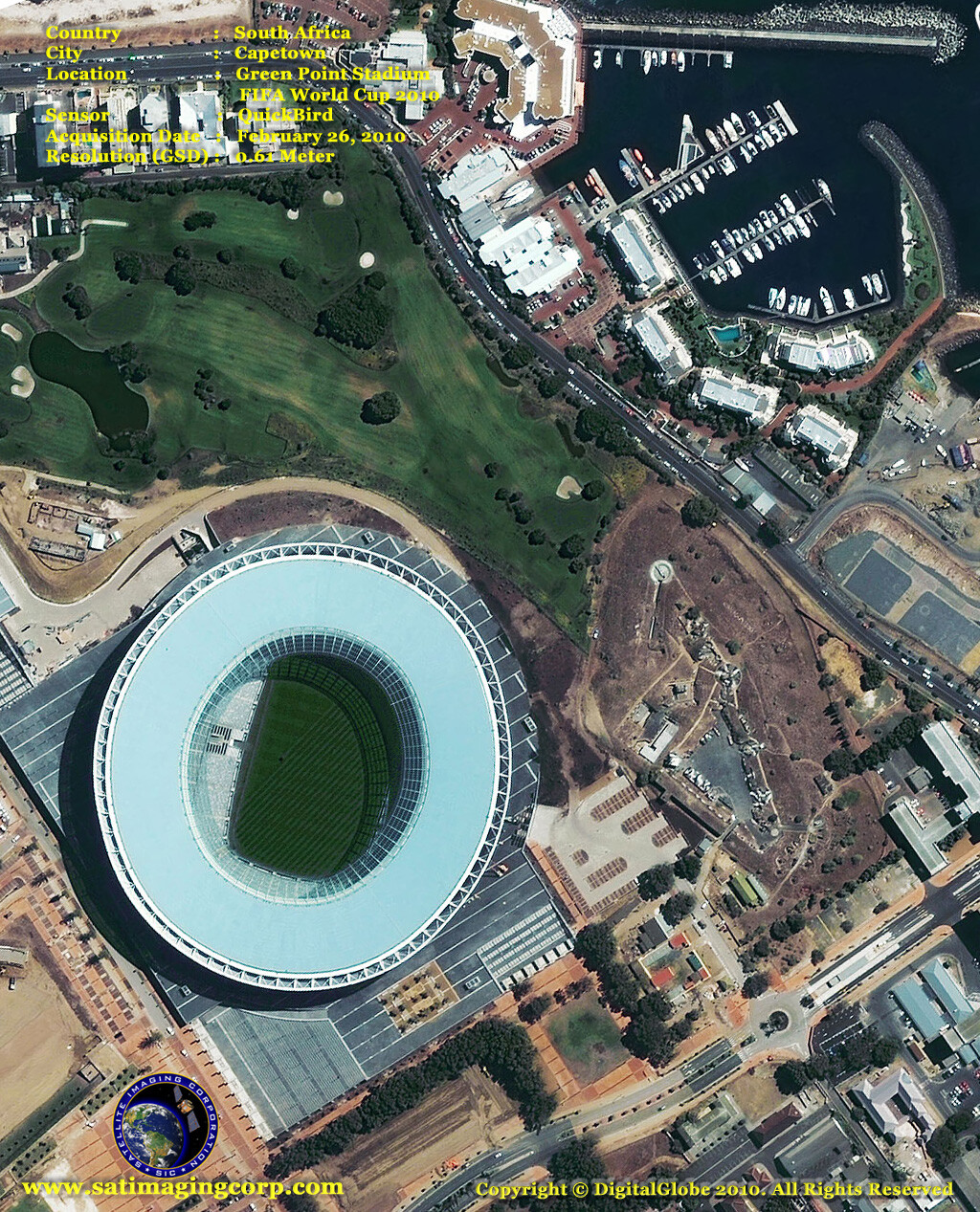
Satellite images of the construction and newly completed Cape Town Stadium (also known as Green Point Stadium) in Cape Town, South Africa a 68,000-seat multi-purpose stadium built for the FIFA World Cup 2010.
QuickBird Satellite Map FIFA World Cup 2010 – Green Point Stadium – Capetown
Image copyright © MAXAR – All rights reserved.
The Green Point Stadium which was demolished in 2007 with an 18,000-seat capacity hosted many football matches including the Santos Football Club and Ajax Cape Town at different points and various popular music concerts including Michal Jackson.
Construction began in March of 2007 and took 33 months to complete costing approximately US $600 million. The stadium was completed in December 2009.
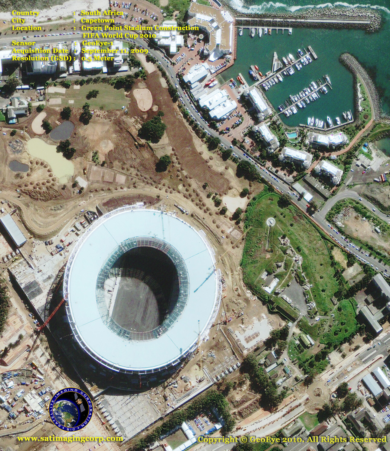
GeoEye-1 Satellite Image of Green Point Stadium Construction
Cape Town, South Africa
Image copyright © MAXAR – All rights reserved.
The stadium is located in Green Point, between Signal Hill and the Atlantic Ocean, near the Cape Town city center. The stadium will host first-round, second-round, quarter, and semi-final matches. GeoEye-1 .50-meter resolution collected this image on September 11, 2009.
After the 2010 World Cup, the stadium will be reduced to a capacity of 55, 000 and will cater to various sports, including rugby, as well as music concerts and other major events.


