
Pleiades-1A Satellite First Images!
Pleiades-1A satellite sensor (0.5m) captured the first panchromatic satellite images after its successful launch from Kourou launch site (French Guiana) via a Russian Soyuz ST rocket on December 16, 2011. The launch marked a new step in French-Russian cooperation: it is the second time when the Russian launch vehicle “Soyuz-ST” took off from the French site. The Pléiades constellation system was designed under the French-Italian ORFEO program (Optical & Radar Federated Earth Observation) between 2001 and 2003.
Pleiades-1 (0.5m) Satellite Image of Casablanca Mosque, Morrocco

Image credit: AIRBUS Defence & Space – All rights reserved.
Pleiades-1 (0.5m) Satellite Image of San Francisco Airport

Image credit: AIRBUS Defence & Space – All rights reserved.
The Pléiades constellation is composed of two very-high-resolution optical Earth-imaging satellites. Pléiades-1A and Pléiades-1B will provide coverage of Earth’s surface with a repeat cycle of 26 days. Their great agility enables daily access all over the world, which is a critical need for defense and civil security applications, and a coverage capacity necessary for the cartography kind of applications at scales better than those accessible to SPOT family satellites. Moreover, Pleiades have stereoscopic acquisition capacity to meet the fine cartography needs, notably in urban regions. Pléiades-1B will launch in mid-2012.
Pleiades-1 Satellite Sensor
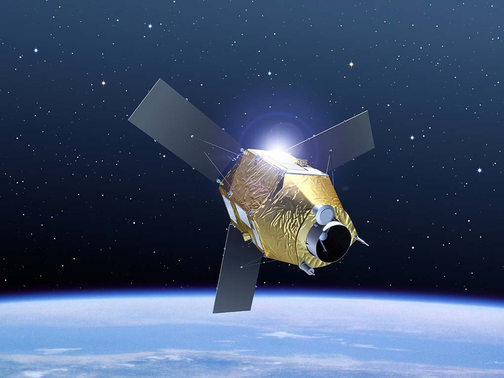
Image credit: AIRBUS Defence & Space – All rights reserved.