
WorldView-1 Satellite Launch
WorldView-1 satellite is the first of two new next-generation satellites from DigitalGlobe (currently MAXAR), WorldView-1 will be the most agile satellite ever flown commercially. The high-capacity, panchromatic imaging system features half-meter resolution imagery. Operating at an altitude of 496 kilometers, WorldView-1 will have an average revisit time of 1.7 days and will be capable of collecting up to 750,000 square kilometers (290,000 square miles) per day of half-meter imagery. The satellite will also be equipped with state-of-the-art geolocation accuracy capabilities and will exhibit stunning agility with rapid targeting and efficient in-track stereo collection.
WorldView-1 Satellite Sensor
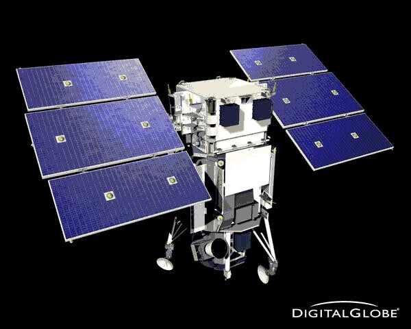
Photo credit: MAXAR