
Satellite Maps Hurricane Ida
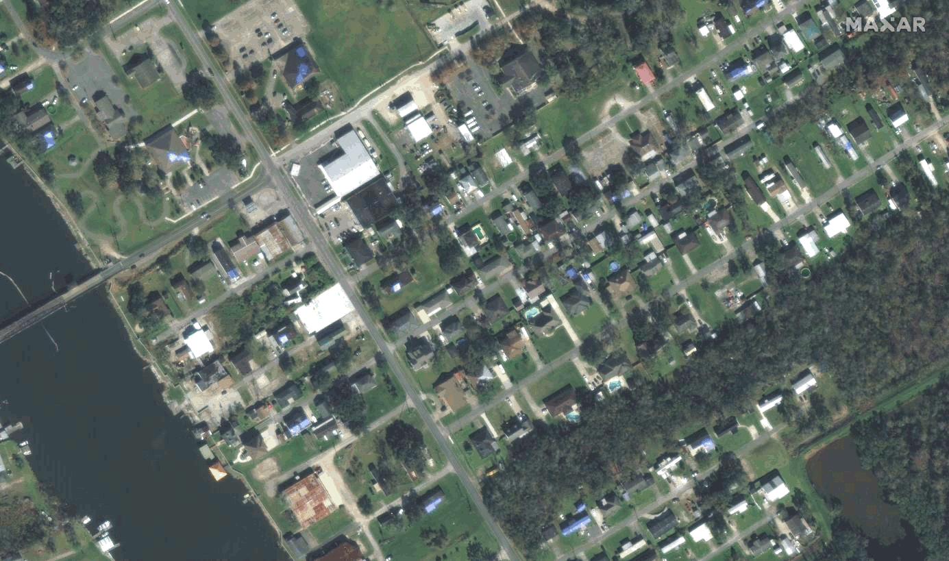
This WorldView-2 satellite sensor (30cm) shows the devastating aftermath of Hurricane Ida after making landfall earlier this week. The hurricane became Category 4 and left much of Louisiana’s coastline and inner urban areas without water, power, and gasoline. The WorldView-2 satellite sensor provides a high-resolution panchromatic band and eight (8) multispectral bands; four (4) standard colors (red, green, blue, and near-infrared 1) and four (4) new bands (coastal, yellow, red edge, and near-infrared 2), full-color images for enhanced spectral analysis, mapping, environmental monitoring, land-use planning, disaster relief, energy, defense, and intelligence. View the additional WorldView-2 satellite imagery gallery.
WorldView-2 Satellite Maps – Before and After Hurricane Ida
Copyright © MAXAR/Processed by Satellite Imaging Corporation. All Rights Reserved.