
Computer Vision and Remote Sensing
Computer Vision (CV), deep learning, and artificial intelligence (AI) methods for applications in remote sensing can support and resolve challenges for large satellite image data sets by utilizing high-performance-based models to collect and identify features in an environment with precise accuracy and speed. CV and deep learning can help the end-user to understand the data and improve the overall accuracy of the feature classification and can enhance the reliability, and assess features of image data collected. Computer Vision’s algorithms can remove noise and enhance satellite and aerial image data that can improve the analysis of large areas to classify objects, and features, detect land change, data fusion, cloud removal, and spectral analysis from satellite or aerial imagery that will overcome challenges of remote sensing data.
Images collected by satellites or unmanned aerial vehicles (UAV) by applying CV, AI (Artificial Intelligence), ML (Machine Learning), and deep learning methods, these models can provide near real-time reports for areas with complex feature distribution such as in the applications of mineral mapping, agriculture, climate change, environmental monitoring and management, and wildlife conservation.
WorldView-4 Satellite Image of Agriculture Fields – Xinjiang Ghulja, China (30cm)
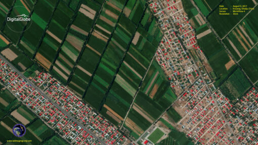
Image copyright © MAXAR. All Rights Reserved.