Satellite Maps Wildlife Monitoring
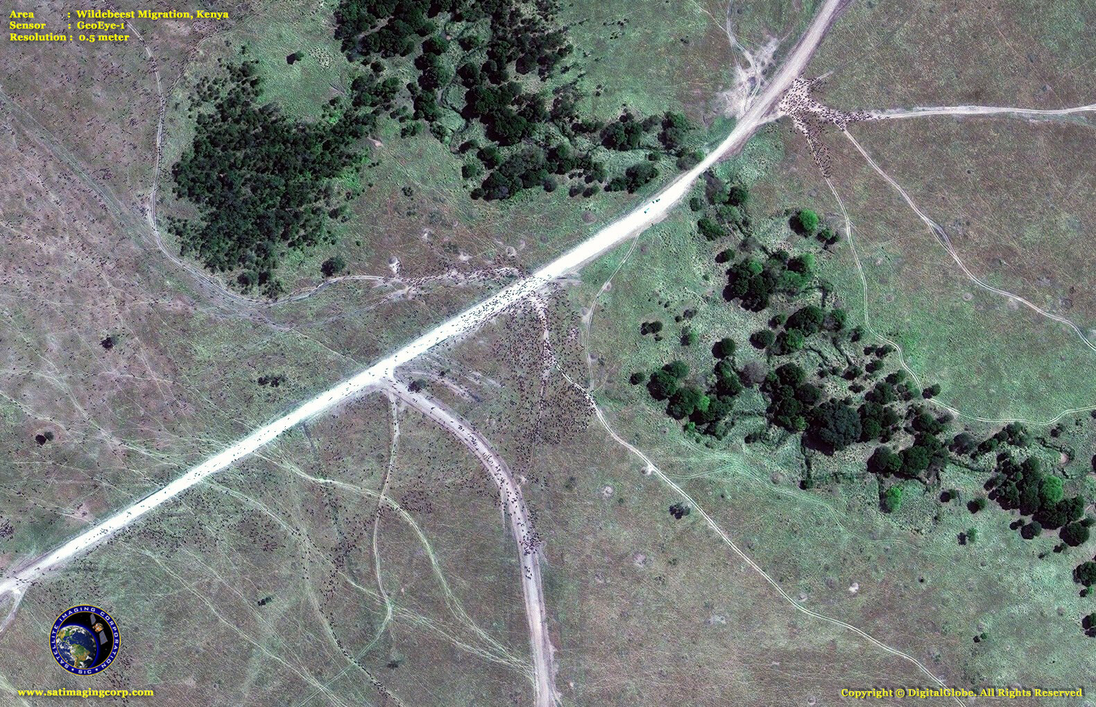
Satellite remote sensing, machine learning (neural networks processing), geographic information systems (GIS), and global positioning systems (GPS) have greatly expanded opportunities for data collection, integration, analysis, modeling, and satellite map production for wildlife monitoring and assessment. High-resolution satellite imagery gives scientists and researchers increasingly up-to-date geospatial data and by using neural network processing, reliable statistics are obtained for monitoring wildlife migrations, habitat mapping, and tracking endangered species in remote areas of the world to assist in management and conservation activities. With spectral signatures collected for the wildlife being monitored and by utilizing neural network algorithms, statistics are obtained during the migration of various wildlife, counting adult and calf species.
GeoEye-1 Satellite Map Wildebeest Migration, Kenya
Image copyright © MAXAR. All Rights Reserved
WorldView-3 Satellite Map Caribou Herd Migration – North Slope of Alaska
Image copyright © MAXAR/Processed by Satellite Imaging Corporation. All Rights Reserved


