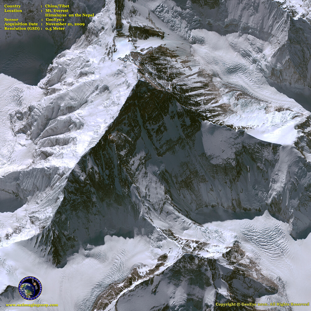
Satellite Image Mt. Everest
Satellite image of Mt. Everest, the tallest mountain above sea level located in the Himalayans is an attraction to many climbers around the world.
Satellite Imagery for Monitoring Landcover Changes
Satellite imagery and GIS maps for land cover, land use, and changes are key to many diverse applications such as environment, forestry, hydrology, agriculture, and geology. Natural resource management, planning, and monitoring programs depend on accurate information about the land cover in a region concerning glacier changes.
Satellite Imaging Corporation can provide automated datasets for vegetation and land cover use for monitoring climate change by updating your projected area and incorporating a more recent image to determine the changes.
Satellite image data is expected to contribute to a wide array of global climate change-related application areas for vegetation and ecosystem dynamics, hazard, and disaster monitoring, assessment, emergency management, land surface climatology, hydrology, and land cover change.
Image copyright © MAXAR. All rights reserved.