Satellite Image Global Desertification
Global desertification is a land degradation problem of major importance in the arid regions of the world. Deterioration in soil and plant cover has adversely affected nearly 70 percent of the drylands which is the result of human mismanagement of cultivation and rangelands. Overgrazing, woodcutting, cultivation practices inducing accelerated water and wind erosion, and improper water management leading to salinization, are all causes of land degradation. In addition to vegetation deterioration, erosion, and salinization, desertification effects can be seen in the loss of soil fertility, soil compaction, and soil crusting. Combating desertification involves having accurate knowledge of a current land degradation status and the magnitude of the potential hazard.
Quantitative, high-spectral resolution satellite remote sensing can dramatically increase the accuracy of dryland monitoring. Hyperspectral imagery incorporated with field and laboratory data for analysis can be used to derive more quantitative and specific soil properties directly linked to soil degradation statuses, such as soil chemical properties, organic matter, mineralogical content, infiltration capacity, aggregation capacity, and runoff coefficient.
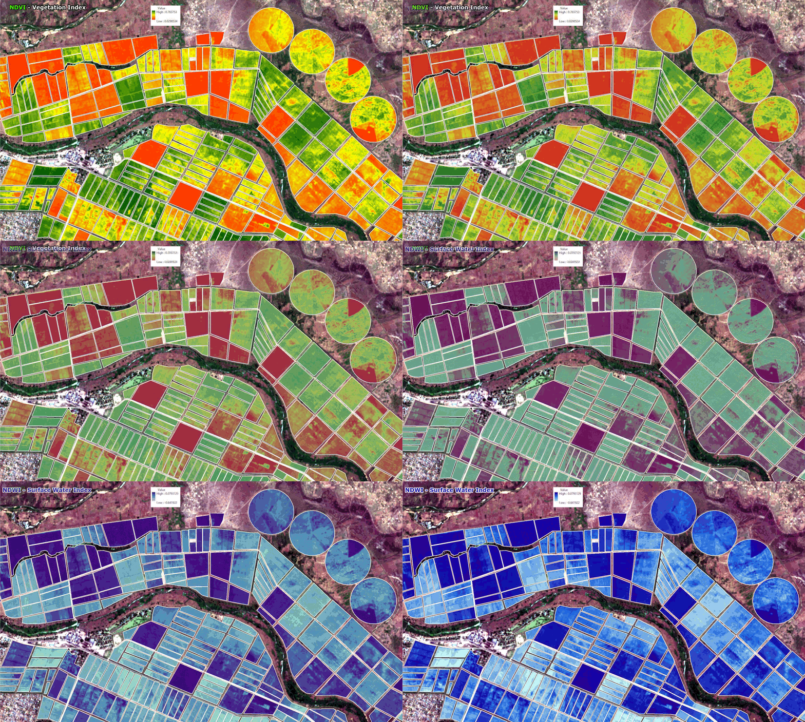
Xinavane – Mozambique Sugar Cane Plantation
Satellite Imagery 4-Band (RGBN) Spectral Image Data – KMZ
Click the image to view the animation
Normalized Difference Vegetation Index (NDVI) Scale Used

Background Image: Google Earth – © Google
The agriculture, forestry, and environmental industries are using the standard NDVI index for many years, but with the availability of multispectral sensors and high-resolution satellite sensors such as WorldView-2, WorldView-3, and Pleiades Neo utilizing an expanded multispectral surface reflectance range to filter the correct band combinations for vegetation, soil, and environmental analysis to support crop, forest, and environmental or GIS management.


