
GeoEye-1 Satellite Launch
GeoEye has announced an August 22, 2008 launch date for its next-generation, earth imaging satellite GeoEye-1. Boeing Launch Services and GeoEye finalized this launch date in an amendment to the Launch Service Agreement that was signed on May 7, 2008.
GeoEye-1 remains at the Gilbert, Ariz. facility of General Dynamics Advanced Information Systems, GeoEye’s (currently MAXAR) prime contractor and integrator for the satellite bus and telescope. The satellite will be shipped in early July to Vandenberg Air Force Base in time to support the August launch on a United Launch Alliance Delta II vehicle.
GeoEye-1 Satellite Sensor (0.5m)
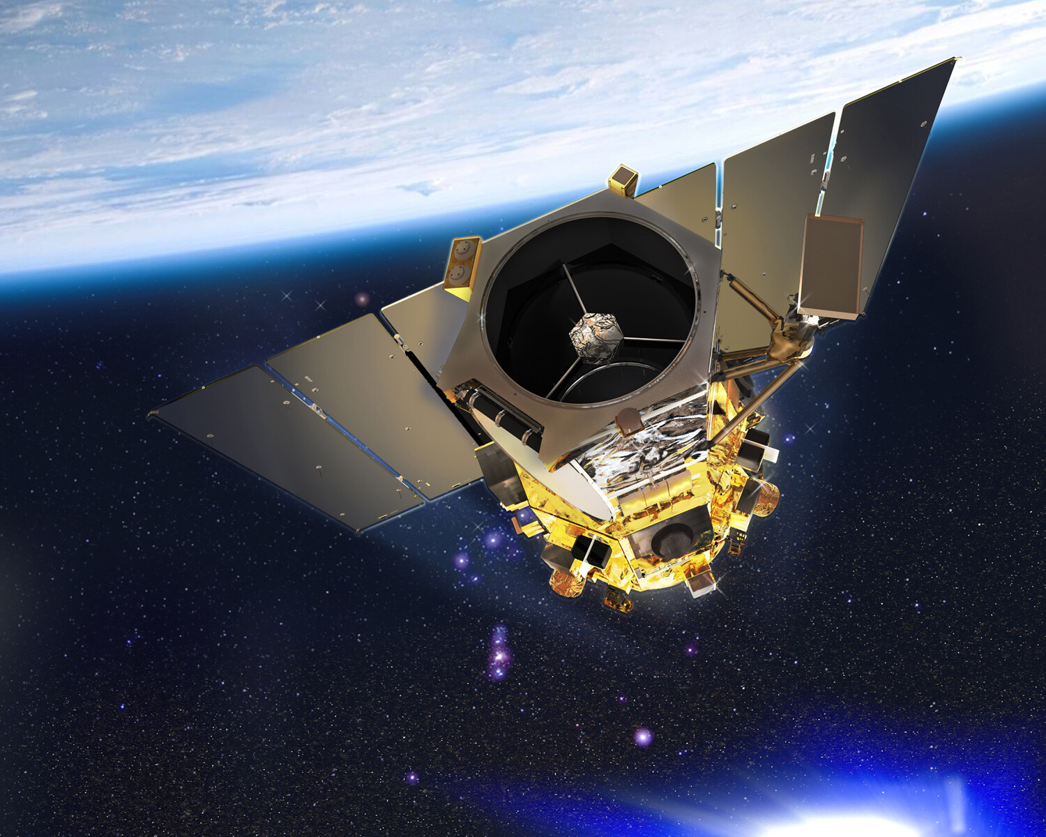
Image copyright © MAXAR – All rights reserved.
GeoEye assembled a team of contractors with virtually a 100-percent mission success record. ITT’s Space Systems Division (Rochester, NY) built the sensor or camera. GeoEye-1 will be lifted into a near-polar orbit by a United Launch Alliance Delta II launch vehicle provided by Boeing Launch Services (Huntington Beach, CA).