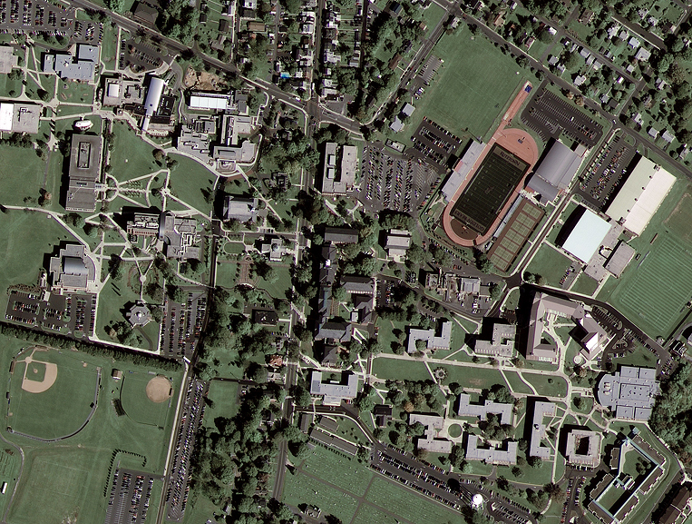
GeoEye-1 Satellite Acquires First Image!
The GeoEye-1 satellite sensor acquired its first high-resolution satellite image over Kutztown, Pennsylvania on October 7, 2008. GeoEye-1 is designed to have better than three-meter (<3m) WGS-84 ECEF geospatial position accuracy, which means that customers can map natural and man-made features within three meters of their actual locations on the surface of the Earth, without establishing GPS-derived ground control points (GCP’s). This degree of inherent accuracy will benefit customers requiring the best accuracy possible for commercial imaging, covering large areas.
Kutztown University, Pennsylvania, USA
Image copyright © MAXAR – All rights reserved.
Customers interested in GeoEye-1 geospatial products will have a choice of ordering basic, georeferenced, orthorectified image data for standard products or stereo imagery for the production of Digital Elevation Models (DEMs) to support 3D Terrain models for various applications including flight simulation and 3D GIS projects.
The imaging capabilities of the GeoEye-1 satellite sensor will benefit a broad array of industries including national defense and intelligence, online mapping, state and local governments, environmental monitoring and land use management, oil and gas, mining, utilities, disaster management, insurance, and others.


