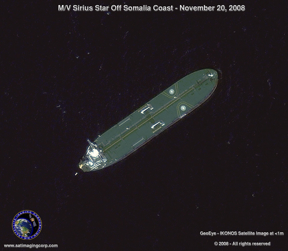
Satellite Image Sirius Hijacked Tanker
IKONOS satellite collected a high-resolution (<1m) image on November 20th, 2008, of the hijacked supertanker Sirius Star owned by ARAMCO of Saudi Arabia. The IKONOS satellite image was acquired from 423 miles in space while the IKONOS satellite was moving from north to south over the East coast of Africa at 17,000 mph. (4 miles per second).
Image copyright © MAXAR- All rights reserved.
The brand new M/V Sirius Star supertanker, with a 25-member crew and owned by Saudi oil company Aramco, is 330 meters (1,083 feet) long, about the length of an aircraft carrier, making it one of the largest ships to sail the seas. The area lies far south of the zone where warships have increased their patrols this year in the Gulf of Aden, one of the busiest channels in the world, leading to and from the Suez Canal, and the scene of most past attacks.
It was the largest vessel seized yet in a surge of pirate attacks, and the farthest out to sea that the well-armed fighters, bolstered by millions in past ransoms, have successfully struck. Maritime experts warned that the broad daylight attack, reported by the U.S. Navy on Monday, November 17, 2008, was an alarming sign of the difficulty of patrolling a vast stretch of ocean key for oil and other cargo traffic and confirmed the vessel, carrying around 2million barrels of oil, has anchored off the coast of Somalia near the city of Harardera.
Remote sensing technology provides an additional security tool to monitor business assets on a global level. With the successful launch of the GeoEye-1 satellite on September 6th, 2008 providing image resolutions of 0.5m, more information can be analyzed, and rush security tasking collections become faster than ever.


