
Satellite Image Tehran Iran Election Protests
Satellite Imaging Corporation has published a satellite image of Tehran, Iran, the country’s capital and site of numerous recent election protests. The 1-meter resolution satellite image, which depicts notable landmarks such as Lalen Park and Vali Asr Square, was acquired by the IKONOS satellite sensor on June 18, 2009.
Shortly following the conclusion of the 2009 Iranian presidential election, supporters of reformist Iranian presidential candidate Mir-Hossein Mousavi defiantly took their message to the streets and the Internet. They quickly summoned the attention of the international community with allegations that the election results were a product of electoral fraud.
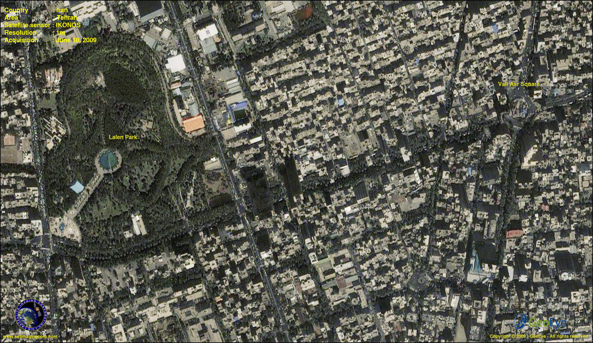
Image copyright © MAXAR – All rights reserved.
The government of Iran, seemingly uninfluenced by growing unrest, officially upheld the contested victory of hardline incumbent candidate Mahmoud Ahmadinejad. In order to quell the uprising, they began to use tactics that involved censorship – including a total media blackout – and violence. The protesters, whose groups had once found success in communicating their message through social networking sites such as Twitter, Facebook, and YouTube, turned silent as those resources were made inaccessible to them. Armed Basij – members of a force controlled directly by Supreme Leader Ali Khamenei and the Iranian Revolutionary Guards – were sent to raid universities and disperse the masses that had gathered on the streets of Tehran.
While many aspects of the situation remain uncertain, there have been at least 28 confirmed and 150 unconfirmed deaths resulting from the election protests and subsequent government response.
The Role of Satellite Imaging
When situations such as media blackouts occur and photographs cannot be reliably obtained, satellite images can provide an aerial perspective that is unmatched by any alternate medium. High-resolution satellite imagery, such as that which is produced by the GeoEye-1, IKONOS, and QuickBird satellite sensors, is capable of revealing crucial details that might otherwise remain inaccessible or unnoticed. This critical imagery also enables interested parties, such as foreign state departments, to maintain a clear and objective overview of the event as it unfolds.