
Satellite Image Machu Picchu Mudslides
Satellite image of Machu Picchu before the heavy rains and mudslides that plagued the area on January 26, 2010, stranding thousands of tourists and leaving 20 people dead. At least 250 homes and bridges and parts of several highways were severely affected as fast-moving water and fallen rock covered the roads.
Helicopters were sent to the scene to evacuate some 2,000 people. Tourists were trapped at the World Heritage site in the eastern Peruvian jungle, while two others were killed in separate mudslides. Other deaths were reported over the weekend and another person died when a hillside collapsed due to a landslide.
IKONOS Satellite Image of Machu Picchu, Peru
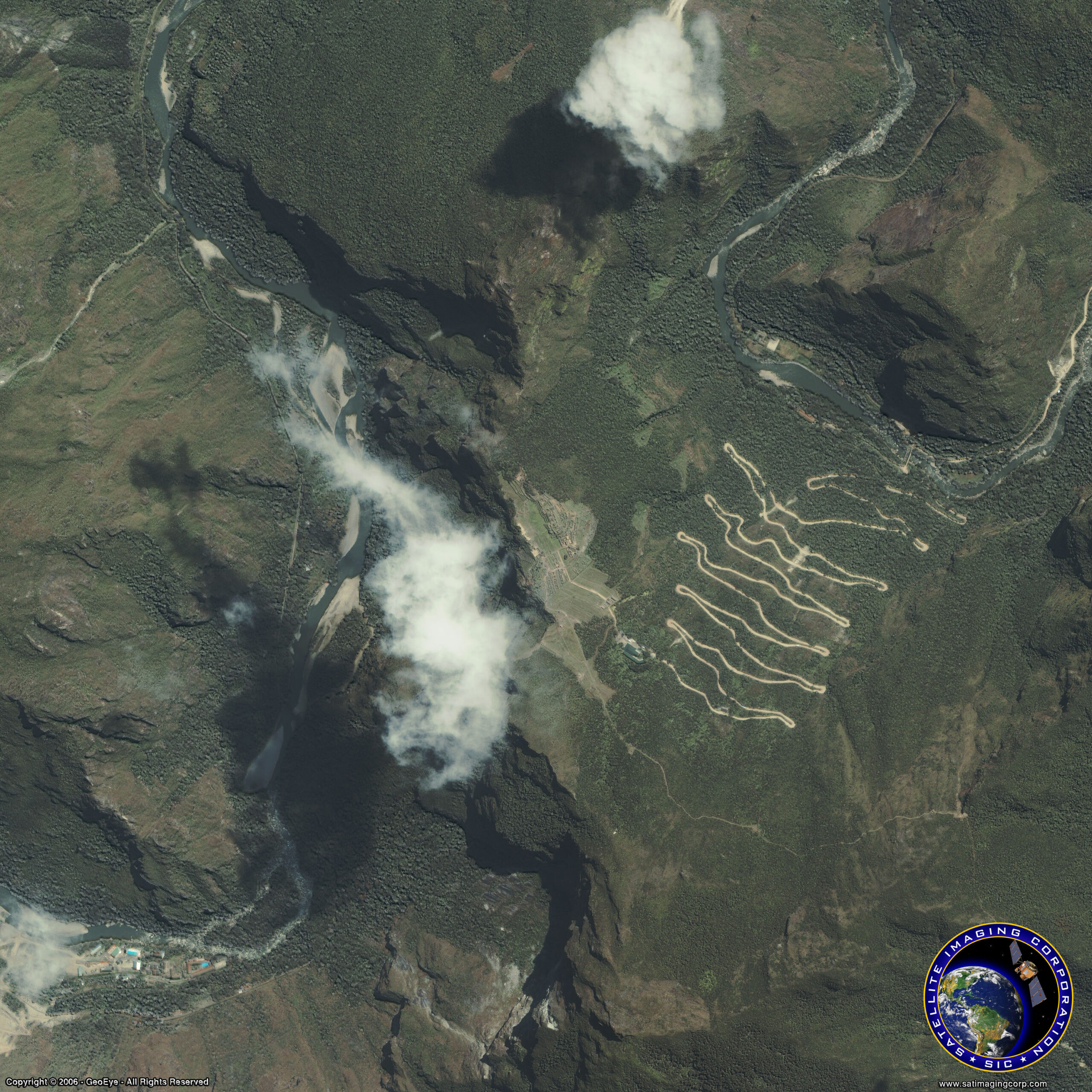
Image copyright © MAXAR – All rights reserved.