3D Simulation Worlds
Satellite images have gained popularity in the video game industry and continue to grow. With the availability of high-resolution stereo satellite imagery.
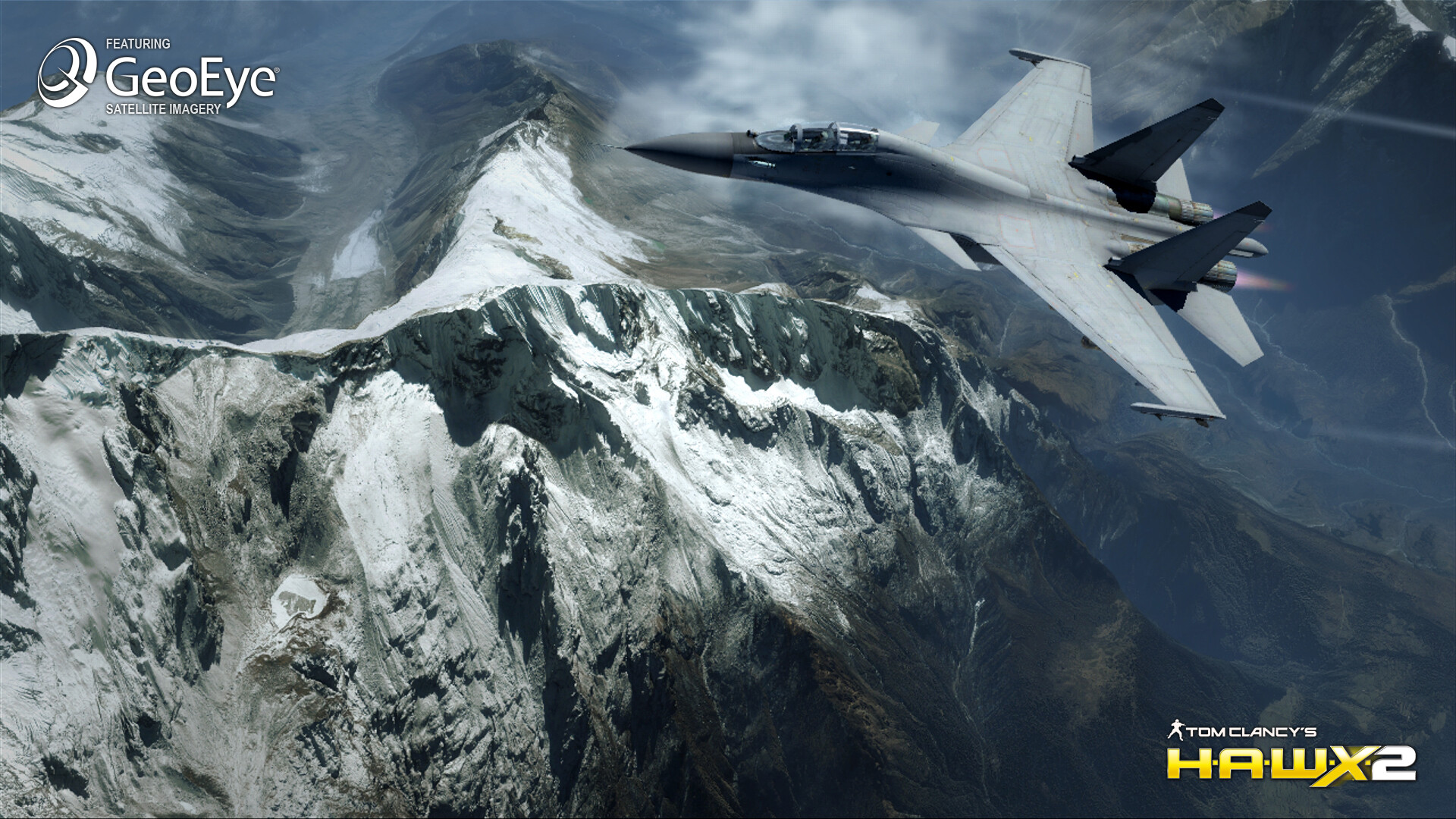
GeoEye-1 satellite imagery has been used to map the ground of Ubisoft’s air-combat title Tom Clancy’s H.A.W.X. 2 for the Xbox 360 video game and entertainment system from Microsoft, the PlayStation 3 computer entertainment system, Windows PC, and the Wii system from Nintendo.
The high-resolution satellite imagery is taken from the GeoEye-1 satellite sensor from 423 miles from Earth with diverse vistas, including mountains, deserts, mountainous coastal regions, and some well-known cities, like Cape Town, South Africa allows piloting the planes with a very realistic experience.
Satellite imagery such as GeoEye-1 (0.5m) and IKONOS (0.8m) gamers can experience video games in a realistic 3D simulated world such as Ubisoft’s Tom Clancy’s H.A.W.X. and H.A.W.X. 2.
Tom Clancy’s H.A.W.X. 2 with realistic Earth imagery
Image copyright © MAXAR – All rights reserved.
(Image from Xbox 360 version)


