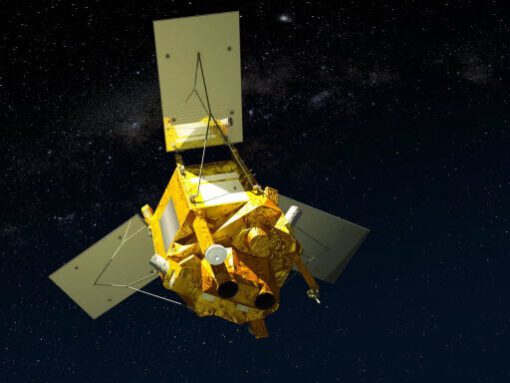
SPOT-6 Satellite First Images!
SPOT-6 satellite built by Astrium, Europe’s leading space technology company, has delivered its first images just 3 days after launch. The satellite was successfully launched on September 9, 2012, by a PSLV launcher from the Satish Dhawan Space Center in India.
SPOT-6 is an optical imaging Earth observation satellite capable of imaging the Earth with a resolution of 1.5m panchromatic and 6m multispectral (Blue, Green, Red, Near-IR) and will offer imaging products to customers in defense, agriculture, deforestation, environment monitoring, coastal surveillance, engineering, and energy industries.
SPOT-6 Satellite Sensor
Image credit: AIRBUS Defence and Space. All rights reserved.
Satellite Image of Bora Bora, French Polynesia
Image credit: AIRBUS Defence and Space. All rights reserved.


