Satellite Maps 2010 Winter Olympic Games
Satellite images of Whistler Olympic Park and Cypress Mountain in Canada hosting the 2010 Winter Olympics, officially the XXI Olympic Winter Games a major international multi-sport event held on February 12–28, 2010, in Vancouver, British Columbia. It is consistently ranked the number one mountain resort in North America. Whistler has over 8,000 acres, the highest peak-to-peak gondola, and the longest unsupported lift in the world.
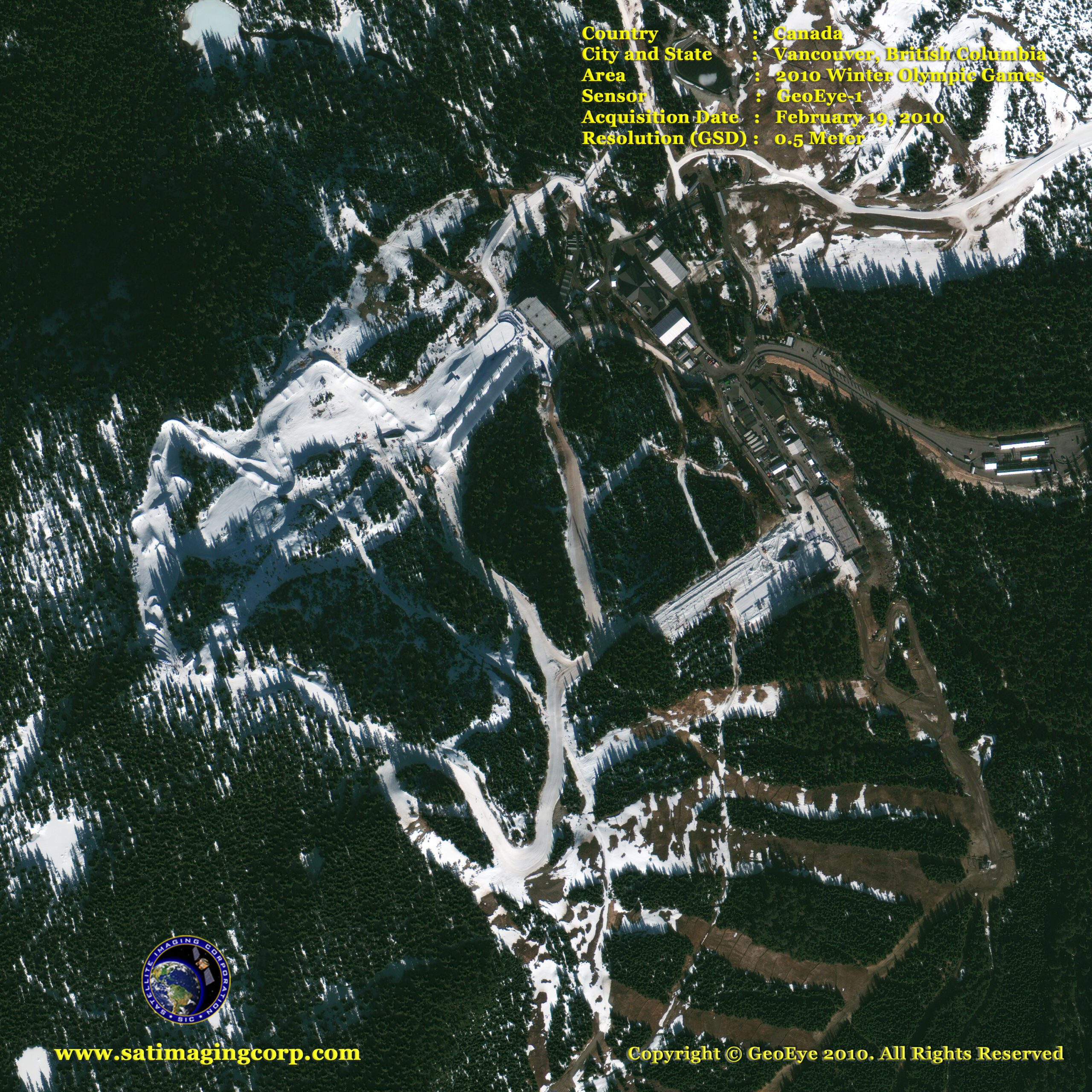
GeoEye-1 satellite image (0.5-meter resolution) below features Cypress Mountain, located in Cypress Provincial Park, adjacent to the District of West Vancouver, British Columbia, Canada. Freestyle skiing and snowboarding events are held here. The image was taken by the GeoEye-1 satellite from 423 miles in space on Feb. 19, 2010, as it moved from north to south over Canada at a speed of four miles per second.
GeoEye-1 Satellite Image 2010 Winter Olympics Vancouver, British Columbia
Image copyright © MAXAR – All rights reserved.
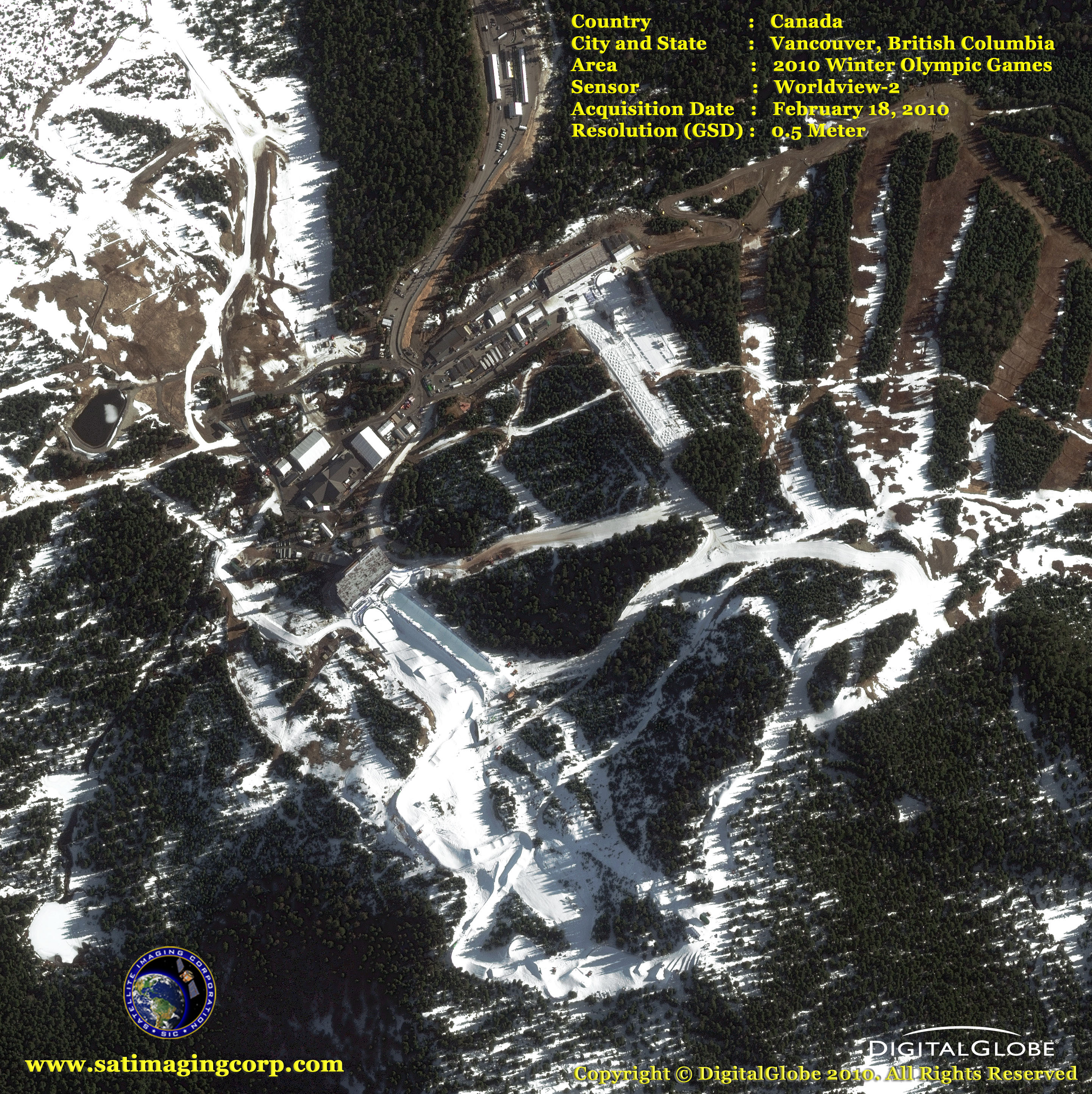
This is a Worldview-2 satellite image (0.5-meter resolution) below Cypress Mountain, Olympics Venue in Vancouver, Canada for moguls, aerials, and snowboarding competitions.
WorldView-2 Satellite Image 2010 Winter Olympics
Image copyright © MAXAR – All rights reserved.
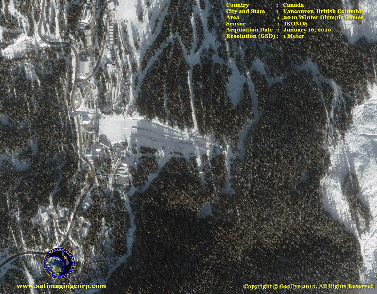
The satellite image below of Whistler Olympic Park was taken by DigitalGlobe’s (currently MAXAR) IKONOS satellite (1-meter resolution) from 423 miles in space on Jan. 16, 2010, at 10:35 a.m. (local) time as it moved from north to south over Canada at a speed of four miles per second. Nordic and sliding events are held here.
IKONOS Satellite Image 2010 Winter Olympics
Image copyright © MAXAR – All rights reserved.
QuickBird satellite image (0.6-meter resolution) below of Whistler Olympic Park Vancouver, British Columbia – Slide Center.
QuickBird Satellite Image 2010 Winter Olympics
Image copyright © MAXAR – All rights reserved.
Whistler is a resort town in the southern Pacific Ranges of the Coast Mountains in the province of British Columbia, Canada, approximately 125 kilometers (78 mi) north of Vancouver.
All alpine skiing events are being held on Whistler Mountain and sliding events (bobsleigh, luge, and skeleton) are being held on Blackcomb Mountain. Cypress Mountain (located in Cypress Provincial Park in West Vancouver) is hosting the 2010 freestyle skiing (aerials, moguls, and ski cross), and all 2010 snowboard events (half-pipe, parallel giant slalom, snowboard cross).
Over two million people visit Whistler annually, primarily for alpine skiing and mountain biking at Whistler-Blackcomb. Its pedestrian village has won numerous design awards and Whistler has been voted among the top destinations in North America by major ski magazines since the mid-1990s.


