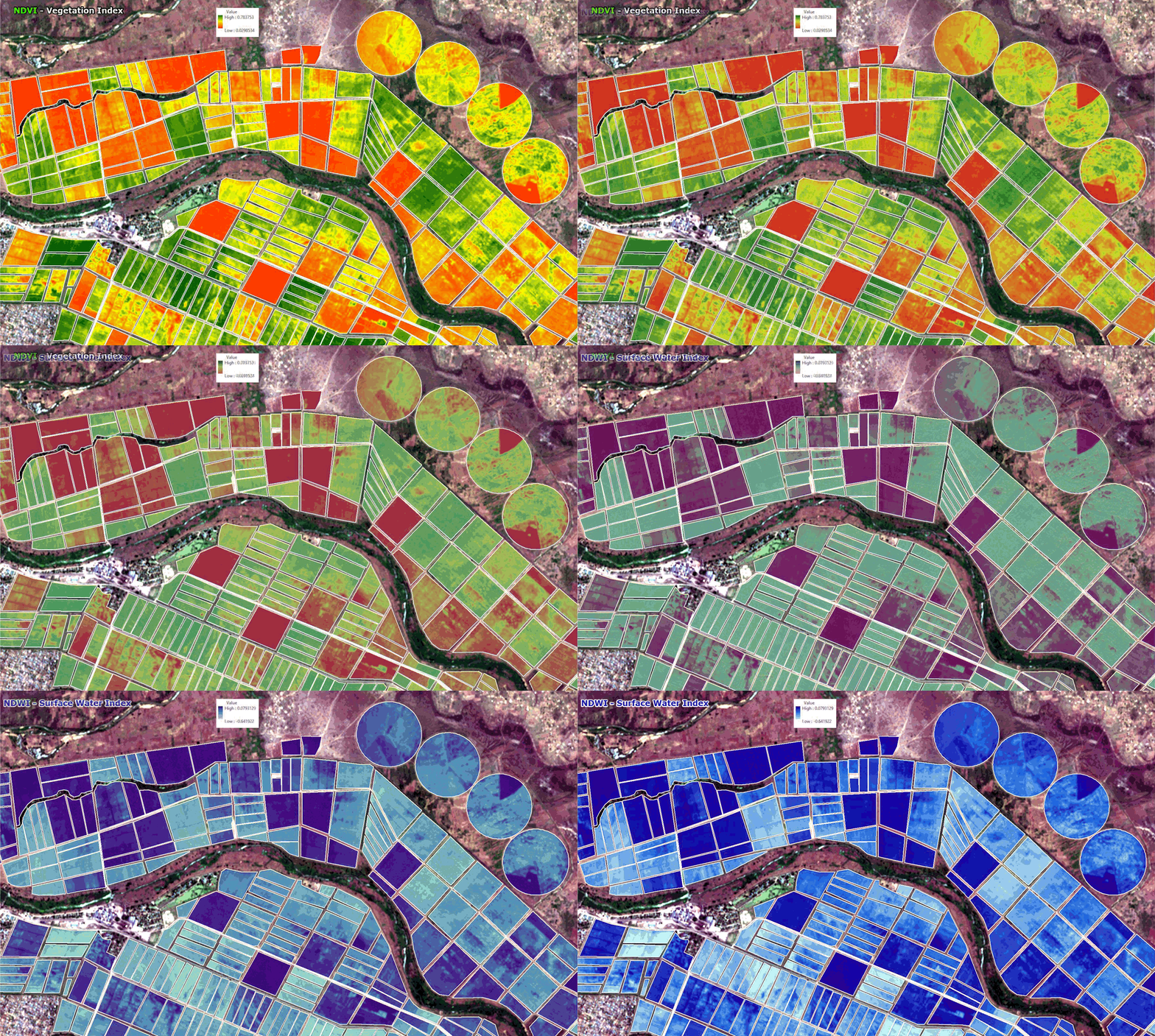
Satellite Images for Agriculture Production
With increasing population pressure throughout the world and the need for increased agricultural production, there is a definite need for improved management of the world’s agricultural resources. To make this happen it is first necessary to obtain reliable data on not only the types but also the quality, quantity, and location of these resources. Satellite imaging Remote Sensing Technology has been and always will continue to be a very important factor in the improvement of the present systems of acquiring and generating agricultural and natural resource data.
Agriculture surveys are presently conducted throughout the world in order to gather information and statistics on crops, rangeland, livestock, and other related agricultural resources. This information of data is most important for the implementation of effective management decisions. The agricultural survey is needed for planning and allocation of the limited resources to different sectors of the economy.
Xinavane – Mozambique Sugar Cane Plantation
Satellite Imagery 3m 8-Band VNIR Spectral Image Data – KMZ
Click the image to view the animation


