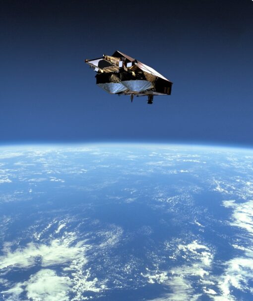
CryoSat-2 Satellite Sensor
Europe’s first mission dedicated to studying the Earth’s ice was launched on April 8, 2010, from Kazakhstan. From its polar orbit, CryoSat-2 will send back data leading to new insights into how ice is responding to climate change and the role it plays in our ‘Earth system’.
CryoSat-2 satellite was placed into orbit 700 km above the Earth by a Russian Dnepr rocket launched from the Baikonur Cosmodrome in Kazakhstan. The launch operator is Kosmotras.
Image credit: ESA
CryoSat will be the third of ESA’s Earth Explorer satellites in orbit, following the launches of GOCE (in March 2009) and SMOS (in November 2009).
The 700 kg CryoSat spacecraft – whose name comes from the Greek kryos meaning cold or ice – carries the first all-weather microwave radar altimeter. The instrument has been optimized for determining changes in the thickness of both floating sea ice, which can be up to several meters, and polar land ice sheets, which in Antarctica can be close to 5 km thick. The mission will deliver data on the rate of change of the ice thickness accurately to within one centimeter.


