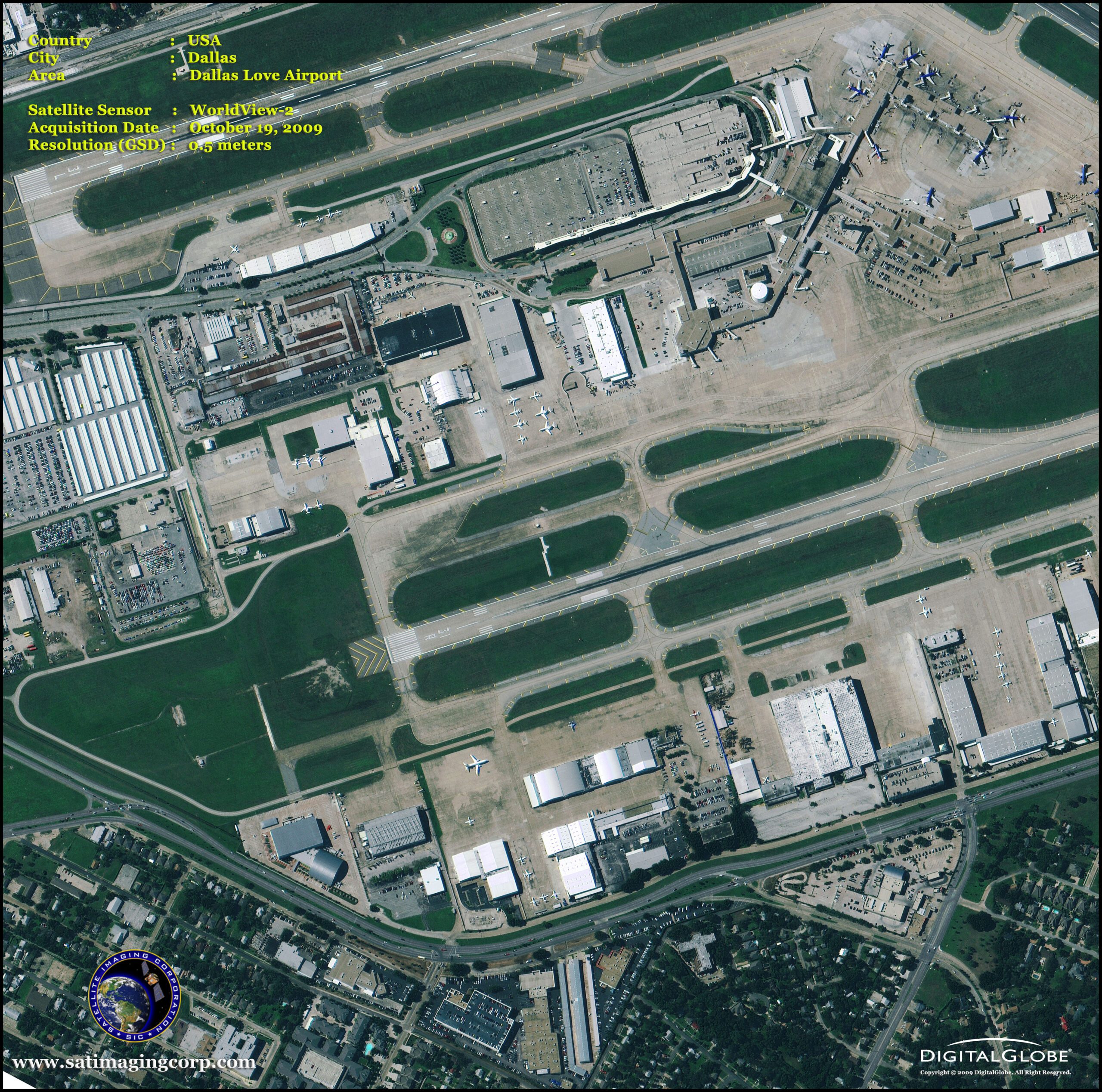
WorldView-2 Satellite First Color Images
WorldView-2 satellite captured its first pan-sharpened, multispectral images at (0.46-meter resolution) from almost 500 miles above the Earth. These images supply unprecedented detail and geospatial accuracy, further expanding the applications for satellite imagery in both commercial and government markets. Added spectral diversity provides the ability to perform precise change detection and mapping.
DigitalGlobe’s (currently MAXAR) WorldView-2 was launched successfully on October 8, 2009, at 11:52 am at Vandenberg Air Force Base, California, U.S.A. With its improved agility, WorldView-2 is able to act like a paintbrush, sweeping back and forth to collect very large areas of multispectral imagery in a single pass. WorldView-2 alone is able to collect nearly 1 million km2 every day, doubling the collection capacity of our constellation to nearly 2 million km2 per day. And the combination of WorldView-2’s increased agility and high altitude enables it to typically revisit any place on Earth in 1.1 days. When added to the satellite constellation, revisit time drops below one day and never exceeds two days, providing the most same-day passes of any commercial high-resolution constellation.
WorldView-2 Satellite Image Dallas Love Airport, Texas USA
Image copyright © MAXAR – All rights reserved.
WorldView-2 Satellite Image (0.5m) of San Antonio Conference Center, Texas USA
Image copyright © MAXAR – All rights reserved.


