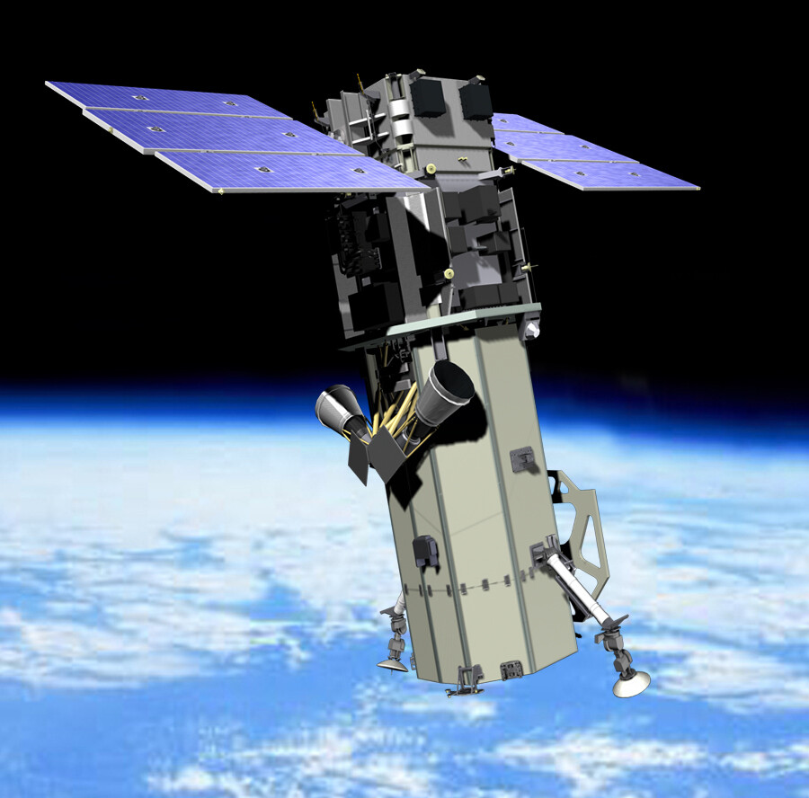
WorldView-2 Satellite Launch
The Worldview-2 satellite is scheduled to launch on October 8, 2009, aboard a Delta II rocket procured from United Launch Alliance (ULA). The launch is scheduled for 11:38 a.m. from Vandenberg Air Force Base, California. WorldView-2 is the third satellite Ball Aerospace has built for DigitalGlobe’s (currently MAXAR) constellation of commercial remote sensing satellites. Ball Aerospace and Technologies Corporation successfully completed and passed environmental testing for the Worldview-2 satellite. To watch the launch go here.
The WorldView-2 sensor will provide a high-resolution Panchromatic (0.46m) band and eight (8) Multispectral bands; four (4) standard colors (red, green, blue, and near-infrared 1) and four (4) new bands (coastal, yellow, red edge, and near-infrared 2), full-color images for enhanced spectral analysis, mapping and monitoring applications, land-use planning, disaster relief, exploration, defense and intelligence, and visualization and simulation environments.
Image copyright © DigitalGlobe – All rights reserved.
WorldView-2 environmental testing included thermal vacuum, electromagnetic compatibility, electromagnetic interference, vibration, shock, and acoustic testing to confirm the design integrity of the spacecraft, according to the company. The Ball Aerospace BCP 5000 spacecraft, utilized for both WorldView-1 and WorldView-2, is designed to handle both next-generation optical and synthetic aperture radar remote sensing payloads and is reportedly meeting or exceeding all performance specifications on the operational WorldView-1 satellite. The high-performance BCP 5000 has a design life of more than seven years.


